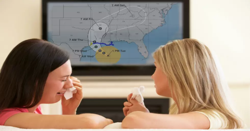
4 PM NHC Hurricane Harvey Update
There has been quite a significant strength change in Harvey from the 1 pm National Hurricane Center advisory to its 4 pm advisory. He is now at strong Category 3 storm (125 mph wind) and with that quick of a change it strengthens the claim made earlier today from The National Weather Service here in Lake Charles that Harvey could be a Category 4 storm when it makes landfall.
With the newest advisory model, it now looks like the worst of the weather will be here in SWLA late Wednesday to Thursday.
According to the National Hurricane Center, SWLA should start feeling Tropical Force winds late tonight or early Saturday morning.
As we have said before, wind will not be too much of an issue for SWLA when it comes to the remnants of Hurricane Harvey slowly traveling across SWLA, it will be the amount of rain our area will take. Models earlier this week showed an expected 10" to 12" and now the models are showing 15" to 20" of rain knocking on the doorstep of SWLA. Flooding will be our greatest threat.
Please stay safe when the waters start to rise. You can't gauge how high water actually is just by looking at it. We don't want to tie up first responders with calls that could have been prevented by just being smart about the situation and playing it safe.
More From 107 JAMZ


![Video Shows Levee Overtopping In Plaquemines Parish [WATCH]](http://townsquare.media/site/34/files/2019/07/GettyImages-840616746.jpg?w=980&q=75)


