Hurricane Center: System Off Of Louisiana Coast Poses No Threat
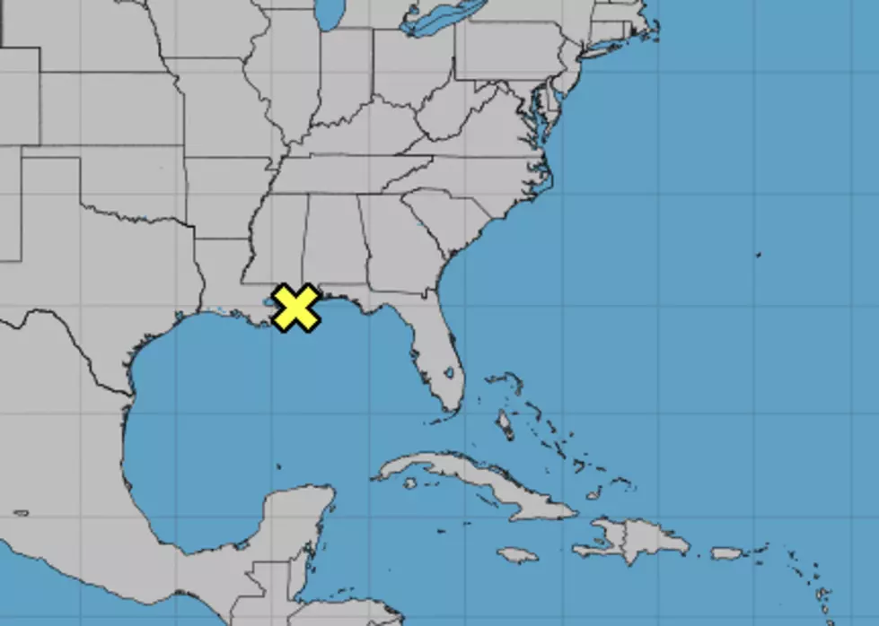
Normally when you visit the National Hurricane Center's website and see a symbol marking an area of the ocean that's under scrutiny you get a little excited. Even though this area of scrutiny is basically onshore in extreme southeast Louisiana there's just not a lot to be excited about. At least in the eyes of tropical forecasters.
Meteorologists are watching an area of low pressure that has been sliding westward across the northern Gulf Coast for the past few days. The system is expected to move westward closer to Acadiana and Southwest Louisiana during the day today and on the Fourth of July.
The official forecast from the Hurricane Center in regards to tropical development is nill. The forecasters are giving the system a 0% chance of intensifying into a tropical system. However, the disturbed weather could be a prodigious rain producer across parts of the state.
Depending upon where you are in the state you could see anywhere from five to six inches of rain or just a small fraction of that amount. The outlook for much of Acadiana is for the system to produce at least two inches of rain, maybe three before it eventually moves out.
The greatest threat of precipitation will come during the day today and during the day Wednesday. Rain chances today are listed at 80% today and 70% for Wednesday. The threat of rain is 50% for the overnight hours.
The bad news, it might rain on your holiday fireworks. The good news is you won't be cleaning up after a hurricane, only a barbeque on Wednesday.

