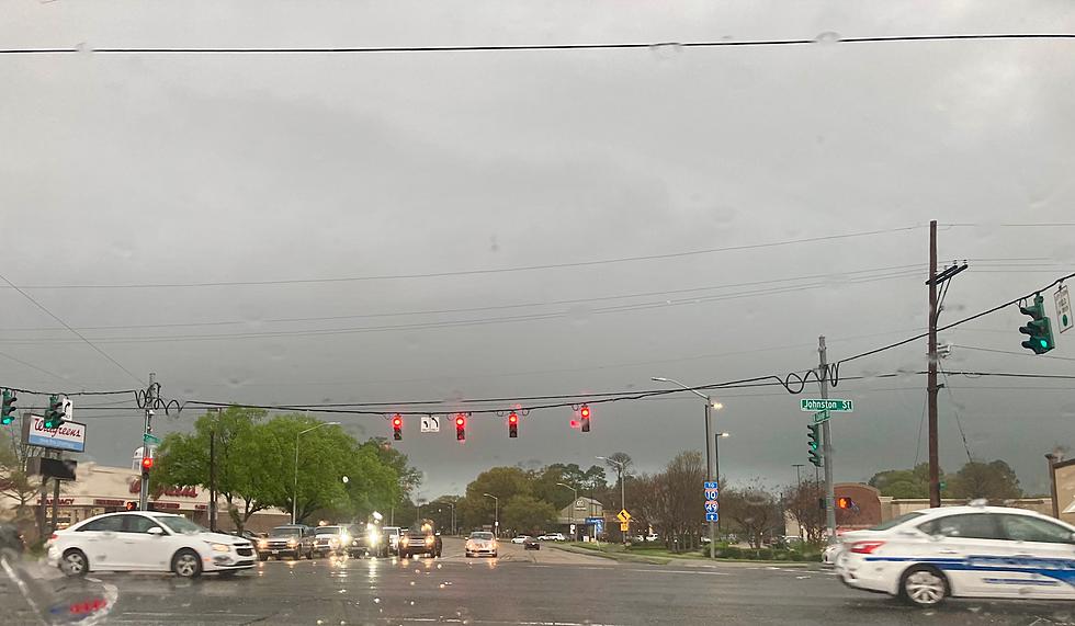
Louisiana Severe Weather Threat Now Likely Through Wednesday
Saturday from Shreveport to Tallulah and Lake Charles to Lafayette, Baton Rouge and beyond was wonderful, if you're speaking strictly of the weather conditions. Skies across Louisiana were sun filled with a few clouds passing by to create a lovely pastoral scene no matter where in the state you happened to enjoy it. That is all about to change.
You'll certainly notice a few more clouds in the Sunday sky as compared to Saturday. Forecasters with the National Weather Service Office in Lake Charles do not think that those clouds will bring a large rain threat to South Louisiana today. However, for the northern sections of the state the showers could be starting as early as this evening.
The graphic above provided by the NWS/LCH gives you an idea of just how wet the next few days are going to be. Rain chances will be ramping up for most of Louisiana by Monday and they will stick around through Wednesday evening.
The threat of rain and clouds will no doubt put a damper on some of the activities that were planned around the solar eclipse. It doesn't appear as though eclipse viewing in Louisiana will be at its best on Monday. And perhaps more concerning than the threat of rain is possibility of severe storms Monday, Tuesday, and Wednesday across most of the state.
The above graphic from the Storm Prediction Center shows where forecasters believe the greatest threat of strong storms will occur on Monday. As you can see, the northwestern half of the state will be at the greatest risk with a lesser risk for cities in southwestern Louisiana.
The severe weather outlook for Tuesday, that is pictured below. Suggests more of Louisiana will be at a greater risk for big storms on that day as compared to Monday. The thunderstorm activity will be more widespread. And it is important to note that the threat is still in the "slight" risk for much of the area.
The storm system that is the catalyst for all of the rain and the severe weather potential will finally push through the area on Wednesday. And while the rain chances will actually go down during the day on Tuesday they will ramp back up considerably on Tuesday night.
That means there will still be enough instability in the atmosphere that much of Louisiana will at risk for severe storms during the late night hours of Tuesday and the early part of Wednesday morning. Once those storms have passed the storm threat should push off to the east by the middle of the day.
Conditions should improve across the state on Thursday and the current long-range outlook for next weekend is very nice as far as the weather is concerned. But for Monday and especially Tuesday and Wednesday it would be a good idea to have our station App on your phone and your ALERTS set to include "weather".

It's very important that you remain weather-aware over the next few days. Check back with us often for the latest updates and changes to the forecast.
Own This Beautiful Riverfront Glamping Resort For $2.5 Million
Gallery Credit: The Preserve Battenkill River Glamping Resort's Facebook Page


