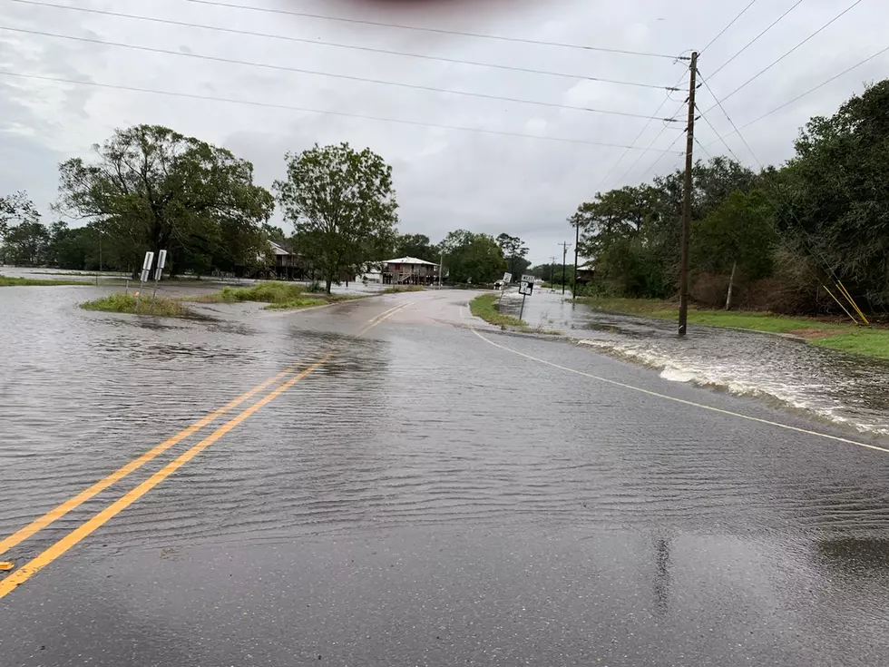
A View Of Louisiana Flooding From Airplane Descending Into Lafayette, LA [VIDEO]
As my flight descended into Lafayette, LA I decided to record video of the historic Louisiana flooding.
One snapchat video quickly turned into two—and soon I realized a couple of 10 second videos simply wouldn't cover the flooding from the Mississippi River in Baton Rouge to the landing strip at Lafayette Regional Airport.
As many photos and videos that I've seen of the flooding from listeners and friends on social media, I was still taken aback by the floodwaters that remained on August 17, 2016—3 days after I reluctantly left my city as many watched the waters rise into their homes.
A closer drone shot near the flooded truckstop in Breaux Bridge (courtesy of our friend Chris Blanchard) that can be seen from the airplane shows just how much water surrounded the particular buildings in that area.
As the cleanup efforts continue, this video makes me want to do everything I can to help our neighbors affected here in South Louisiana.
Hopefully, it will motivate you to do the same.
More From 107 JAMZ


![This Is What Interstate 10 Looks Like Outside Of Houston [VIDEO]](http://townsquare.media/site/34/files/2017/08/Screen-Shot-2017-08-30-at-10.53.30-AM.png?w=980&q=75)
