Severe Threat Followed by Wintry Mix Along I-10 in Louisiana
The roller coaster ride that is Louisiana's weather in the spring is not one for the timid. The only problem with this ebb and flow of atmospheric conditions is that it's not spring. In fact, I don't think we are even halfway through winter. Yet, we are already seeing temperatures and weather conditions move up and down like a horse on a carousel. And like the carousel pony, only to come around again and again.
Here is what we are facing for the next several days. We are looking at a severe weather threat over the next 24 hours. We are looking at a winter weather threat over the next 48 hours. Here's how it's going to shake out and a pretty accurate guess as to when we can expect the worst of whatever Mother Nature is going to throw our way.

First things first, the severe weather threat covers most of the state for most of today. There will be thunderstorms associated with a strong cold front that is forecast to move across Louisiana during the day. We probably won't feel the effects of the front and the storms until much later this afternoon. In fact, the timing from Rob Perillo over at KATC suggests our worst weather will likely come while you're sleeping.

The Storm Prediction Center has placed all but the extreme southeastern portion of Louisiana in the Marginal Risk for severe storms zone for today. There are also Gale Watches and Small Craft Advisories posted for the coastal waters of the state.
Once the front slides through, temperatures will begin to fall quickly. In fact, depending on went the cold front moves through, we could experience our high temperature for Thursday just after midnight. Forecasters expect the winds to pick up from the north and temperatures to struggle to get into the 50s during the day on Thursday.
What About That Wintry Mix Threat?

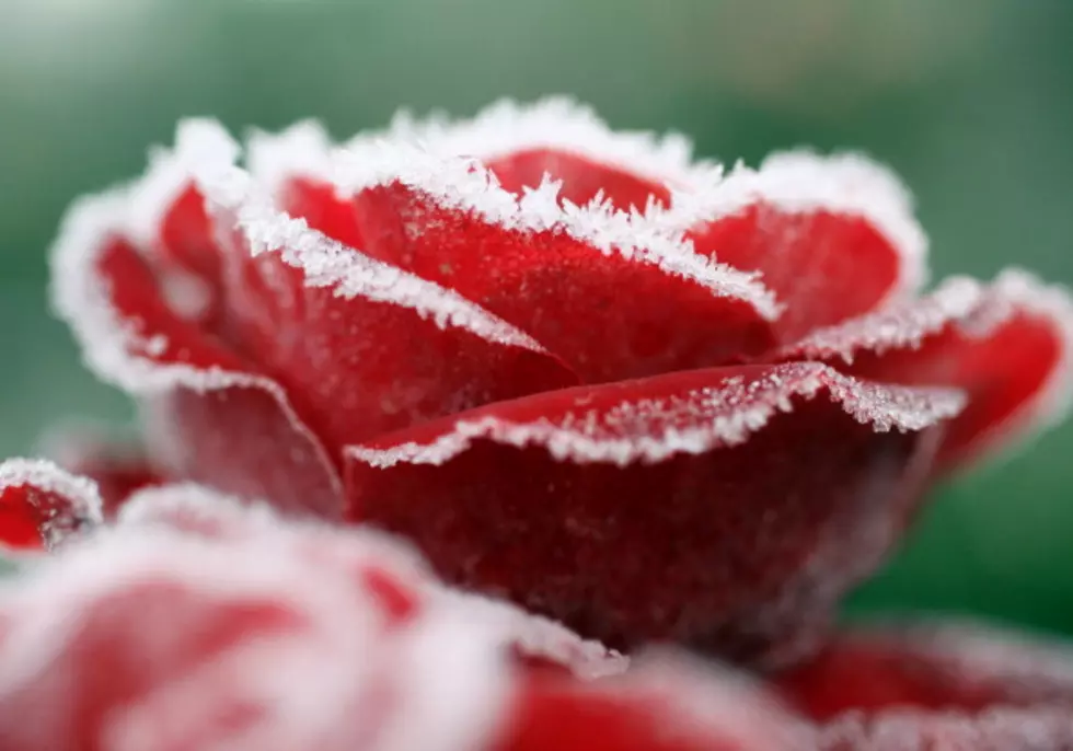
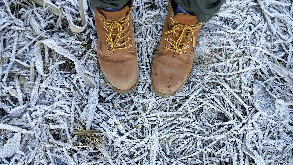
Thursday night, temperatures are expected to fall below freezing and there will be a 50% chance of precipitation. Naturally, that could lead to a wintry mix of sleet, snow, and even freezing rain. Forecast confidence in any frozen precipitation of significance in the area is quite low. In fact, as warm as conditions have been the only accumulation we might see would be on exposed metal surfaces or maybe some bridge floors early Friday morning.

Expect conditions to be quite cold through the weekend with overnight low temperatures for both Saturday and Sunday morning expected to be at or below freezing. It should make for some great gumbo weather over the weekend. And in case you need to know a little or a lot more about that.
10 Commandments of Gumbo
Gallery Credit: Jude Walker
More From 107 JAMZ