Line of Storms Marching Across Louisiana This Morning
A strong cold front and associated storms are just now entering the western sections of Louisiana this morning. The front and associated rain and thunderstorms should push across the state during the course of the day. For the most part showers and thunderstorms will be moderate to heavy as the system moves through.
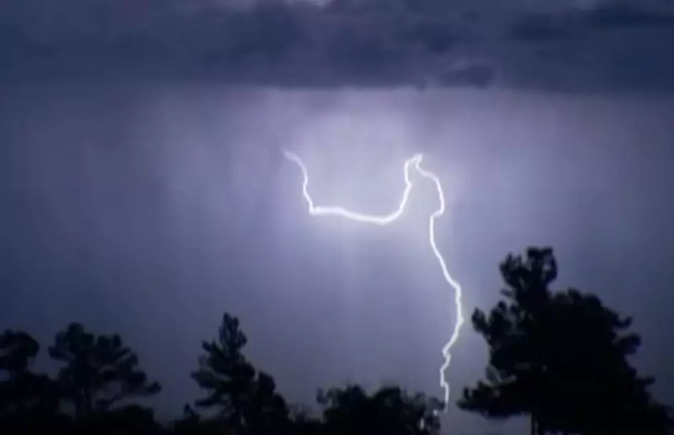
The image below is where the line of storms was located at 3:45 this morning. Click Here for an up-to-date radar scan from the National Weather Service.

Early this morning the National Weather Service Office did issue a special weather statement for residents of Beauregard, Jeff Davis, Allen, Vernon, and Calcasieu Parishes as the system was moving through. The statement advised residents of thunderstorm cells embedded in the line of storms that could produce dangerous weather conditions.
Among the conditions mentioned in the Special Weather Statement were strong gusty winds that could knock down limbs or upset patio furniture or loose fixtures around a home. The storms were also producing a large amount of cloud-to-ground lightning so lightning safety protocols should come into play.
The bigger concern with this line of storms is where it will be in the next few hours. Based on our timing the bulk of the heavier weather should be moving into western sections of Acadiana by 5 am. That means residents of Acadia, St Landry, and Western Vermilion Parish could feel the effects as early as 5 am.

Based on the current timeline the showers and storms should arrive in the Lafayette area by 6 am or maybe a little before. In the Lafayette area, the worst of the weather could be arriving about the same time as school traffic starts to pick up ahead of classes at 7 am.
It should take the system a few hours to push on through the area. But, the stronger storms should not take that long to pass through most of what we will see is light to moderate rain behind the initial arrival of the storms.

Behind the storm system, skies should clear out by this afternoon. The winds will become gusty and from the north. This will make temperatures seem a little cooler than they actually are. But the day will be considerably cooler than yesterday. On Monday afternoon highs made it into the low 80s, today we will top out in the middle 70s.
The weather should stay nice on Wednesday and Thursday and then the next round of showers and storms will enter the forecast by Friday.
50 Most Popular Chain Restaurants in America
Gallery Credit: Paul Feinstein
More From 107 JAMZ