Louisiana Likely to See Severe Storms on Wednesday
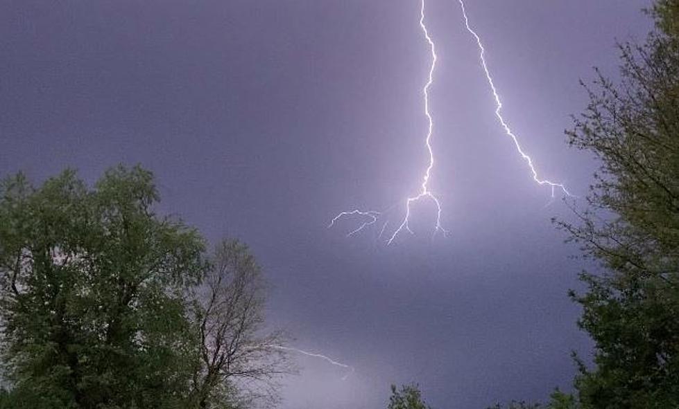
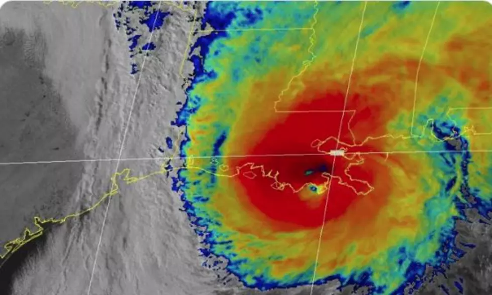
Forecasters with the Storm Prediction Center are once again suggesting a mid-week severe weather threat for much of Louisiana and the Gulf South again this week. Last week a storm system pushed through the area bringing strong storms and tornadoes. One of those tornadoes touched down in the Greater New Orleans area killing one person on the ground.
Based on forecast data and models it looks as if an eerily similar weather pattern could be shaping up to move across the area on Wednesday. Last week the Storm Prediction Center placed a good portion of Louisiana under an enhanced and moderate threat for severe storms. It looks as if parts of the state could once again be placed in those higher-risk categories for strong storms during the day on Wednesday.
Many of you have asked, "what exactly does this risk threat category mean"? Well, here is how the Storm Prediction Center and the National Weather Service define those categories.
As of now, it does appear as if the greater threat for strong to severe storms will set up to the north of the I-10 corridor. However, much of the area along and south of I-10 will likely be included in at least a "slight risk" for severe storms on Wednesday. Since there is still quite a bit of time between now and Wednesday it is likely some of those parameters will change.
Gusty winds will be an issue as we move through the day today and into tomorrow. Winds today will be breezing from the south at about 10 to 15 mph. You can expect those breezes to pick up on Tuesday and by Wednesday wind gusts of 40-50 mph can't be ruled out, especially in and around thunderstorms.
Much like last week, other than the one day of inclement weather most of the workweek will be quiet as far as the forecast is concerned. Once the storm system moves out of the area on Wednesday evening, skies should clear quickly and temperatures will be just a shade cooler. However, those temperatures will rise quickly by next weekend when we could see yet another threat of showers.
10 Tallest Buildings in Louisiana
Gallery Credit: Jude Walker
More From 107 JAMZ


