Tropics Heating up with Four Potential Storms to Watch
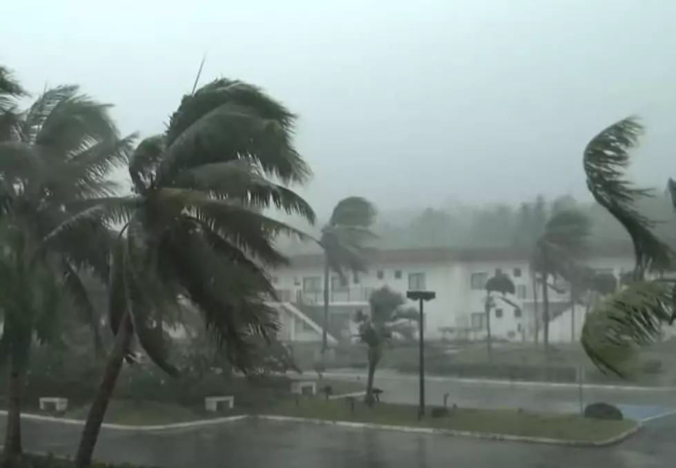
The tropical Atlantic basin has gone from zero tropical trouble spots to almost four tropical trouble spots early this morning. We say "almost four" because the fourth area of disturbed weather has been identified by forecast models as a potential trouble spot for the Caribbean and maybe eventually the Gulf of Mexico.

Over the weekend Louisiana marked the second anniversary of the landfall of Hurricane Laura. Today marks the 17th anniversary of the landfall of Hurricane Katrina in the state. As you've probably figured out this is "go time" in the tropics. In fact, we're less than two weeks away from the climatological peak of the hurricane season.

And right on cue, Mother Nature has taken a very quiet tropical season and escalated it very quickly. Currently, the National Hurricane Center is most concerned with a strong tropical wave that rolled off the African coast last week.
This system is currently in the mid-Atlantic and is given an 80% probability of strengthening into a tropical cyclone over the next five days. Current model guidance does keep this system out to sea and away from the continental United States but remember that is model guidance and not an actual forecast.
Elsewhere in the tropics there are two other tropical waves officially being monitored by the Hurricane Center. Those waves are located just to the east of Bermuda and right along the western coast of Africa. Both of these waves have been given a minimal probability of forming into tropical cyclones over the next five days, however, we will continue to monitor the progress of each system should there be a change in thinking.

The storm system that has "yet to be" is an area of disturbed weather in the west-central Caribbean. Forecast models suggest an area of storms could form between the Yucatan Peninsula and the coast of Honduras. The system, should it form, is expected to drift to the west-northwest toward Mexico over the next few days. Because of its close proximity to the Gulf of Mexico, this would be a system to monitor over the next few days, so we will.

Meanwhile, much of southern Louisiana is included in a marginal risk for excessive rainfall again today. Forecasters with the National Weather Service Office in Lake Charles say rainfall amounts of 1 to 3 inches will be common in storms with some storms dropping even higher rainfall totals in a short period of time.
The Weather Service has the rainfall probability listed at 80% for today, 60% into the early evening hours of tonight, and 80% again on Tuesday. The long-range forecast includes a threat of showers or thunderstorms each day through the Labor Day weekend.
9 Amazing Water Parks in Louisiana
Gallery Credit: Jude Walker
More From 107 JAMZ


