Hurricane Delta – The Latest Information [0400 am CDT Update]
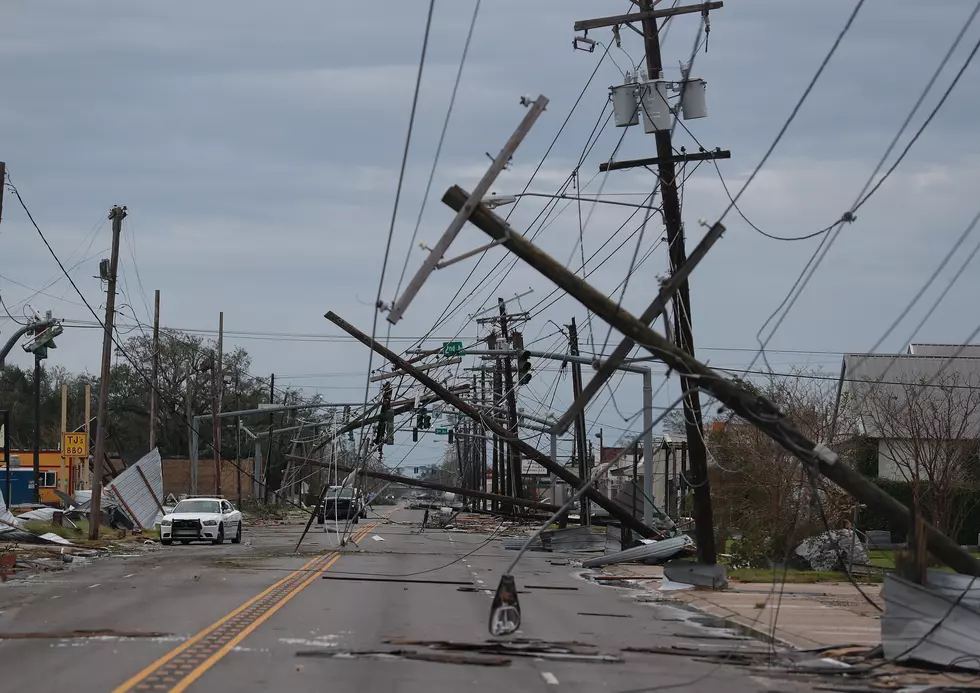
Hurricane Delta is doing just what forecasters expected it to do once the storm's center of circulation cleared the Yucatan Peninsula. As expected, the storm showed signs of strengthening during the overnight hours as it traversed the open and very warm waters of the central Gulf of Mexico.
As of the 0400 am CDT Advisory from the National Hurricane Center. Delta's center of circulation was about 450 miles south southeast of Cameron Louisiana. The maximum sustained winds of the storm were estimated to be 100 mph. This makes Delta a category 2 storm on the Saffir-Simpson scale. The storm is moving to the northwest at 15 mph.
The latest run of tropical forecast models has shifted the storm's track a little further to the west, again. This now appears to place the Cameron Parish coastline under the gun for landfall late on Friday afternoon. The intensity forecast from the NHC suggests that Delta will be a category 2 storm with winds of 105 mph when it crosses the coast.
In addition to hurricane force and tropical-storm-force winds across much of southwest Louisiana, we will likely see a large amount of rainfall as well. Rainfall amounts of six to ten inches will be common along and just east of the storm's center.

Forecasters believe Delta will move on out once it moves onshore. Most of the rain and storms associated with it should exit the area by late Friday night or during the early hours of Saturday. Hopefully, that will mean some nice weather for storm cleanup and if we are being even more hopeful, we hope that there won't be too much of that.

12 Incredible Facts about Stops Along I-10
More From 107 JAMZ