Shocking Video of Tornado Near Interstate 10 as Severe Weather Enters Louisiana
As Acadiana embraces for severe weather this afternoon, a preview of what's to come can be found in a video shot near the Texas-Louisiana border.
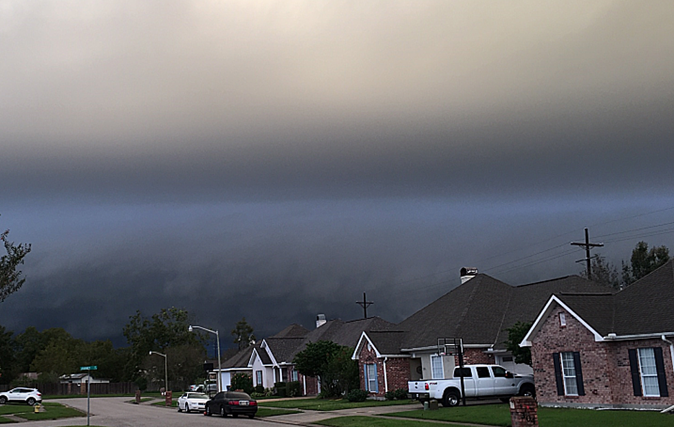
Severe thunderstorm and tornado warnings are already lighting up our push alerts and Twitter feeds as damaging winds and hail are possible with the wicked weather that is set to roll through the area on Wednesday (Oct 27). A video from News 12 that is currently going viral shows us the terrible weather conditions that this system is capable of producing.
It's crazy to see just how crazy things can get in a matter of seconds.
Someone pointed out the beauty within the danger of the tornado seen in the video clip.
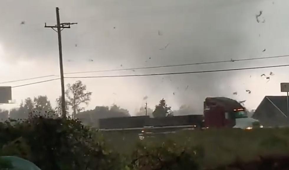
Another angle shows the tornado crossing what is reportedly Interstate 10 near Hwy 62 in Orange, TX.
Like the video above, this video shows the twister lighting up (likely from transformers blowing) as the damaging tornado destroys everything in its path.
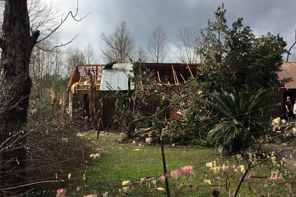
Please be aware that this weather is moving into our area as parts of Louisiana near Calcasieu Parish have already reported some possible tornadic activity just after 11 a.m. Wednesday morning.
It is being advised that anyone in the path of this storm should seek shelter immediately.
LOOK: The most expensive weather and climate disasters in recent decades
Gallery Credit: KATELYN LEBOFF
More From 107 JAMZ


![Lake Charles Hit By Tornado Earlier This Morning [PHOTO]](http://townsquare.media/site/160/files/2016/03/GettyImages-51790521.jpg?w=980&q=75)
![Tornado Tossing 18 Wheeler Cargo In The Air [Video]](http://townsquare.media/site/160/files/2012/04/142385842.jpg?w=980&q=75)